File:Openmower map boundary orthophoto.png: Difference between revisions
Jump to navigation
Jump to search
No edit summary |
(No difference)
|
Latest revision as of 07:58, 11 May 2023
openmower map boundary with orthophoto layer
File history
Click on a date/time to view the file as it appeared at that time.
| Date/Time | Thumbnail | Dimensions | User | Comment | |
|---|---|---|---|---|---|
| current | 07:58, 11 May 2023 | 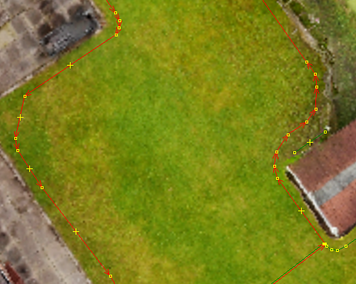 | 499 × 398 (539 KB) | CSobel (talk | contribs) |
You cannot overwrite this file.
File usage
The following page uses this file: